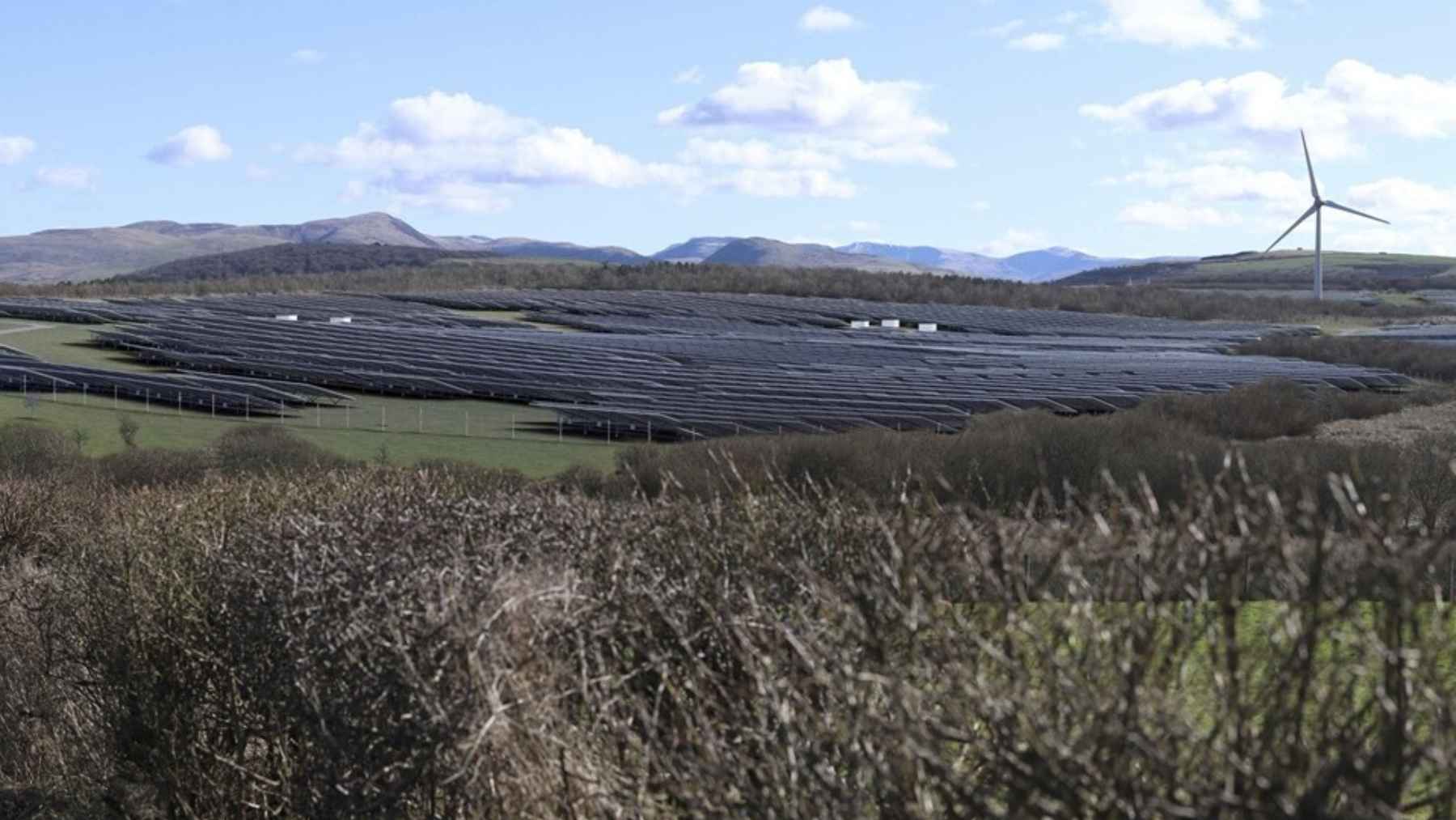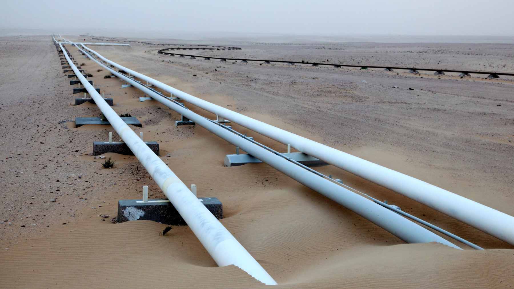
Some climate warnings do not look dramatic at first. A crop leaf changes chemistry before it turns brown, a pipeline leaks methane before people nearby notice a problem, and polluted water can carry clues long before the damage becomes obvious.
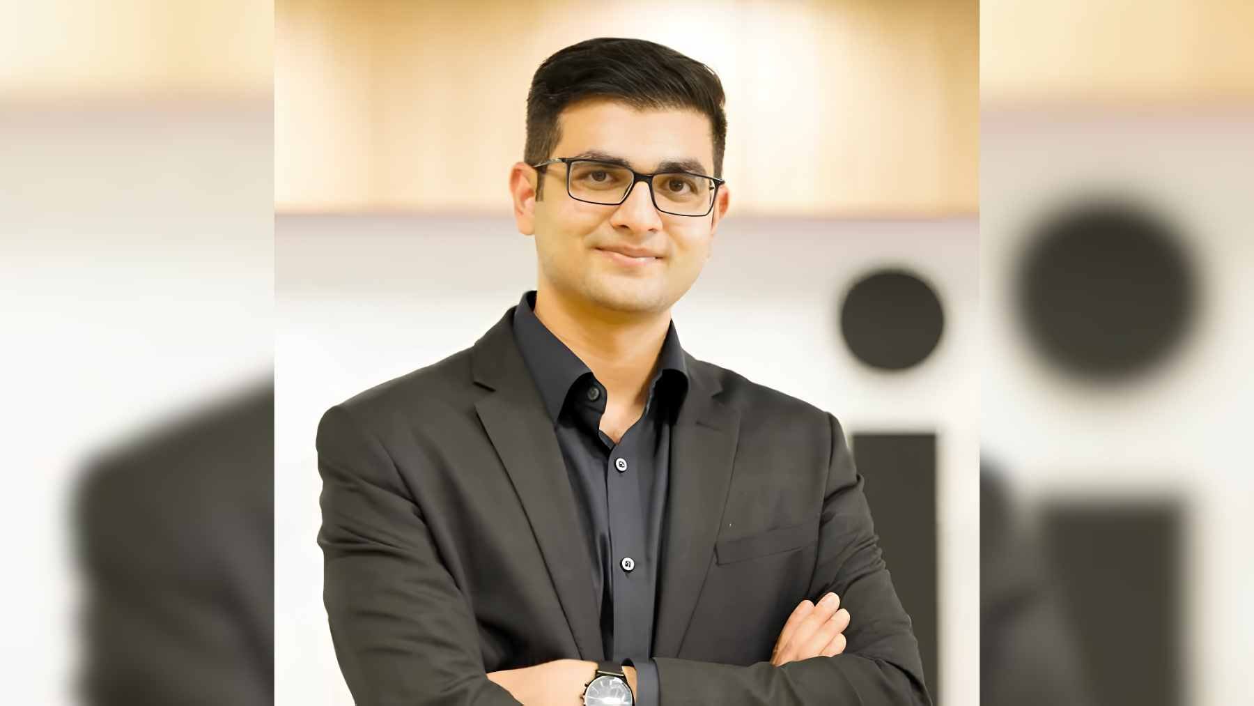
Earlier warning is the promise behind Pixxel, the U.S.-India space technology company co-founded by Awais Ahmed, who grew up in Aldur, a village in Karnataka, without internet access until eighth grade.
Today, Pixxel’s hyperspectral satellites are part of a fast-growing Earth observation business that NASA, environmental researchers, and defense agencies are watching closely.
From books to orbit
Ahmed’s story starts far from the usual image of a space-tech founder. On his own website, he says he was born in Aldur, about five hours from Bengaluru, and spent much of his childhood reading encyclopedias about space, science, and technology because internet access did not arrive for him until eighth grade.
At BITS Pilani Institute, that curiosity turned into engineering work. Ahmed joined a student satellite team working with the Indian Space Research Organisation (ISRO) and was also a founding member and engineering lead at Hyperloop India, one of the finalist teams in the SpaceX Hyperloop Pod Competition.
The problem Pixxel chased
The idea behind Pixxel grew from a very practical frustration. Ahmed and co-founder Kshitij Khandelwal needed better satellite data for crop-health analysis, but ordinary satellite imagery often missed subtle changes in plants, soil, water, and industrial sites.
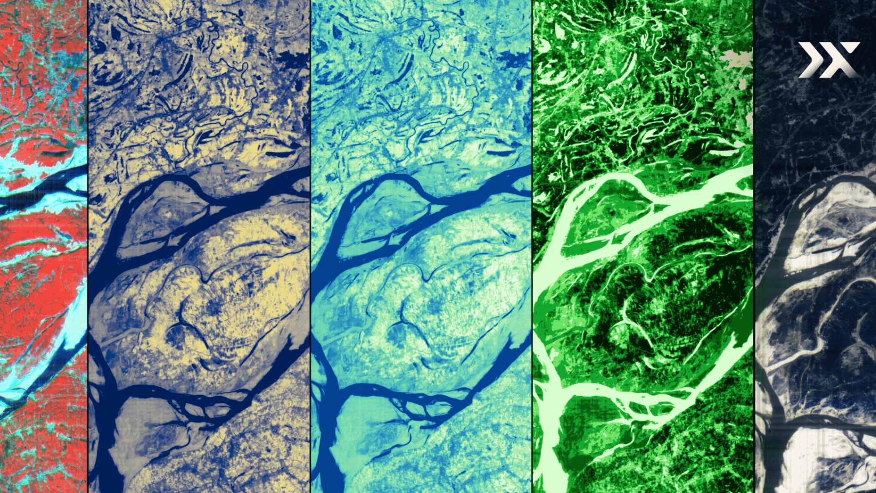
Why does that matter? Because many environmental problems are chemical before they are visible. Pixxel says hyperspectral imaging reads reflected light across hundreds of narrow bands, turning a view from orbit into something closer to a material fingerprint.
Firefly changes the view
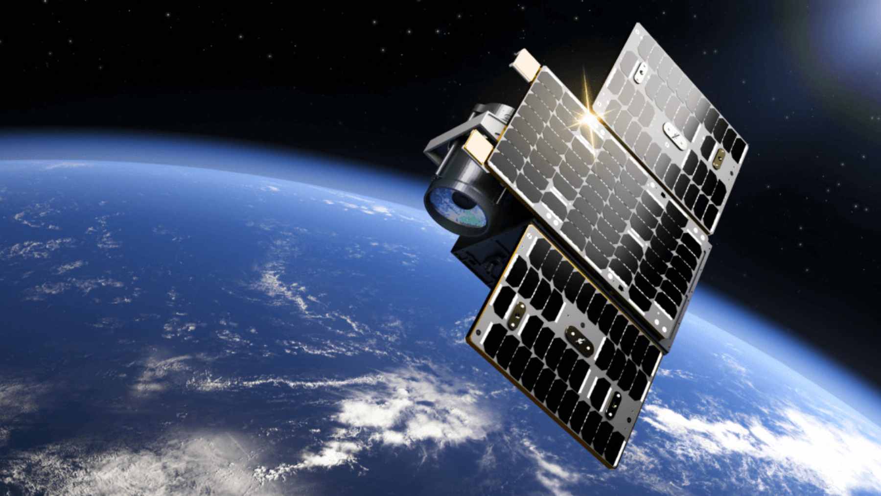
Pixxel’s Firefly constellation has now moved that idea out of the lab. The company says three Firefly satellites launched on SpaceX’s Transporter-12 mission on January 14, 2025, and three more launched on the SpaceX NAOS Falcon 9 mission on August 26 in the U.S. and August 27 in India, completing the first phase of its commercial constellation.
The numbers are what make it different. NASA says Pixxel’s operational Firefly constellation provides analysis-ready data across more than 135 visible and near-infrared spectral bands at about 16-ft. ground sample distance. Pixxel’s broader product page describes 250 or more VNIR and SWIR bands, a 24-hour revisit frequency, and a swath width of about 25 miles.
NASA and defense interest
NASA selected Pixxel Space Technologies as one of eight companies under its Commercial SmallSat Data Acquisition Program On-Ramp1 Multiple Award contract. The contract vehicle has a maximum cumulative value of $476 million across all selected contractors and runs through November 15, 2028.
That does not mean Pixxel alone received $476 million. It means NASA created a pathway to acquire commercial Earth observation data, including Pixxel’s hyperspectral data, to support research and applications that can improve life on the planet.
NASA’s own Pixxel vendor page lists uses including agricultural monitoring, water quality assessment, forest and ecosystem health, mineral exploration, infrastructure surveillance, and disaster response.
The defense side is watching for similar reasons. In May 2026, the National Reconnaissance Office announced additional contract awards to EarthDaily, ICEYE, and Pixxel to expand access to multi-phenomenology remote sensing capabilities, including hyperspectral imaging.
A business signal for India
Pixxel is also part of a bigger shift in the space economy. The company announced in December 2024 that it had raised $95 million across all funding rounds, with backers including Google, Radical Ventures, Lightspeed, M&G Catalyst, and Glade Brook Capital Partners.
Recognition followed. TIME included Pixxel’s hyperspectral imaging satellites among its Best Inventions of 2023, while the World Economic Forum listed Pixxel in its 2024 Technology Pioneers cohort for developing hyperspectral satellite imagery to capture geospatial data.
This is not just a trophy case, either. Ahmed told Reuters that the satellite imagery market could reach $19 billion by 2029, with hyperspectral imaging potentially taking $500 million to $1 billion of that market.
What Earth gains from it
In practical terms, Pixxel’s technology could help farmers detect crop stress before damage is visible from the ground. It could also help energy companies identify oil spills or pipeline problems, and help authorities monitor illegal mining or pollution entering rivers and lakes.
A satellite will not fix a leaking pipe or clean a river by itself, but early warning matters. It gives farmers, regulators, companies, and governments a better chance to act before a small signal becomes a costly disaster.
Curiosity still counts
Ahmed’s rise is easy to turn into a feel-good startup story, but the environmental angle is what gives it weight. Pixxel is not selling space as a distant dream, it is selling orbit as a tool for watching Earth more carefully.
Maybe that is the most useful lesson here. The path from a village encyclopedia to a NASA contract was not built on perfect access to technology. It was built on questions, persistence, and the belief that the planet can be understood better if we learn how to look more closely.
The press release was published on Pixxel.