China’s Pinglu Canal is entering its final stretch, and the latest sign was not a ship, but a bridge. The Zicai Bridge in Qinzhou officially opened to traffic on April 28, becoming the newest of 27 planned crossings over the 83.4-mile waterway in Guangxi.
At first glance, it may look like another big construction headline. But this canal is really about how China wants to move goods from its inland southwest to the sea faster, cheaper, and with more control over the route. The unanswered question is just as important: can a massive shortcut for freight also protect the river life it is cutting through?
A shortcut to the sea
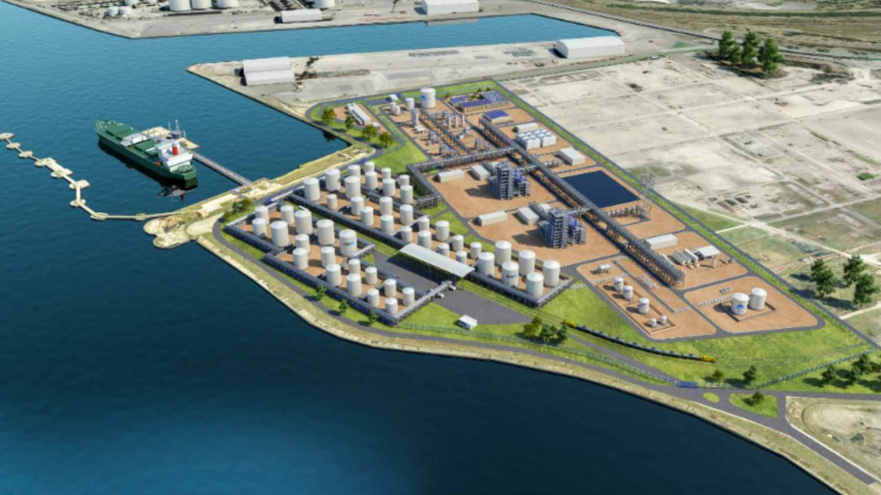
The Pinglu Canal is designed to connect inland river traffic with Qinzhou port on the Beibu Gulf, following the broader New International Land-Sea Trade Corridor built by western Chinese regions and ASEAN members.
Xinhua has reported a planned investment of ¥72.7 billion, or about $10.1 billion, with operation scheduled by the end of 2026.
Essentially, this is meant to give Guangxi and nearby inland provinces a more direct path to global shipping lanes. For companies moving minerals, machinery, food, or everyday products, fewer miles can mean lower fuel use, quicker delivery, and sometimes a smaller bill passed down through the supply chain.
Why the bridge matters
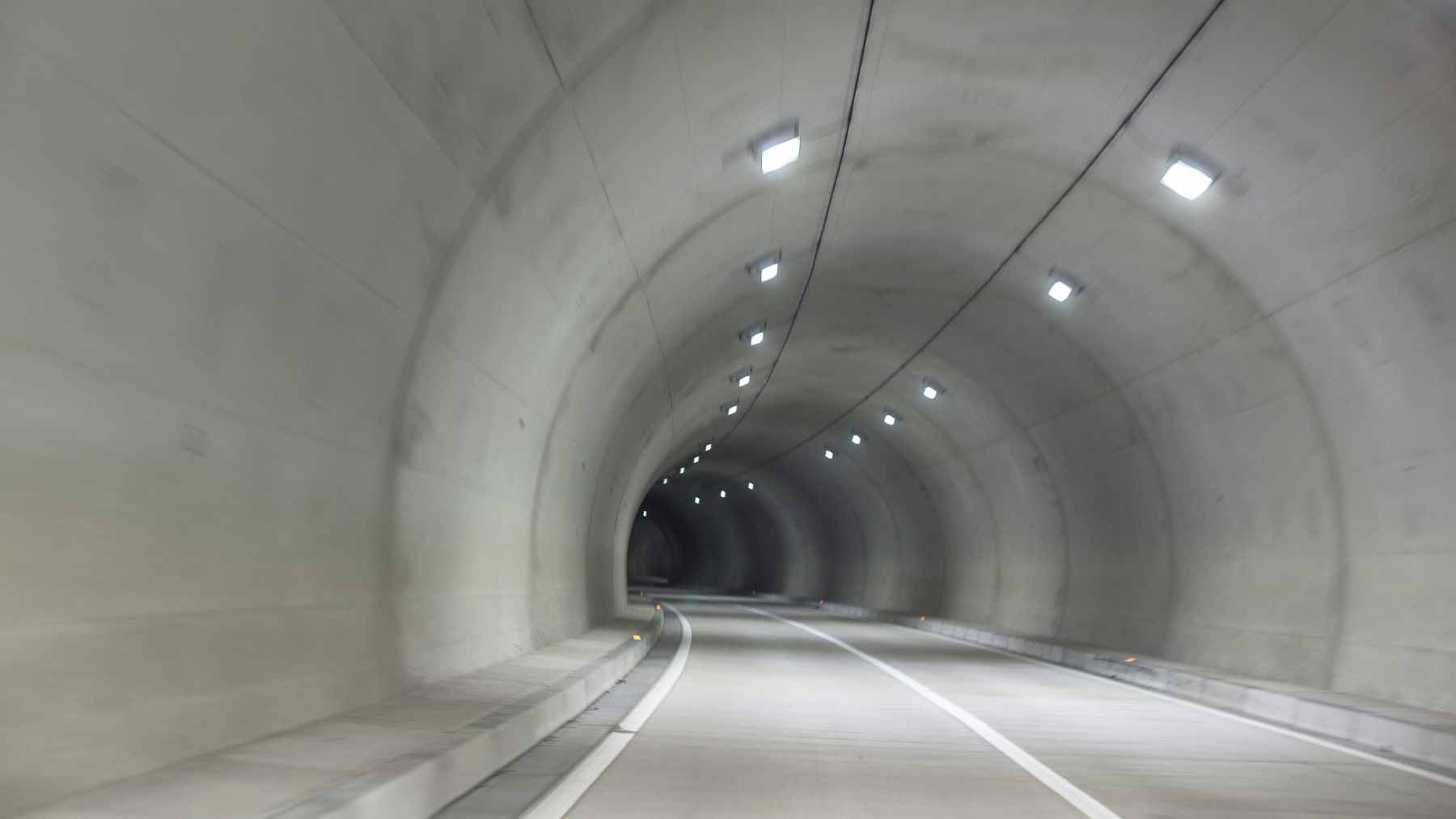
The Zicai Bridge opening is a local event with a larger meaning. Bridges have to be finished, raised, or redesigned before the canal can work like a watery highway instead of a construction trench.
Xinhua described the bridge as “a key project across the Pinglu Canal,” and said it is the newest of the 27 planned bridges spanning the route. That kind of detail matters because ships cannot move smoothly unless roads, locks, and riverbanks are all ready at the same time.
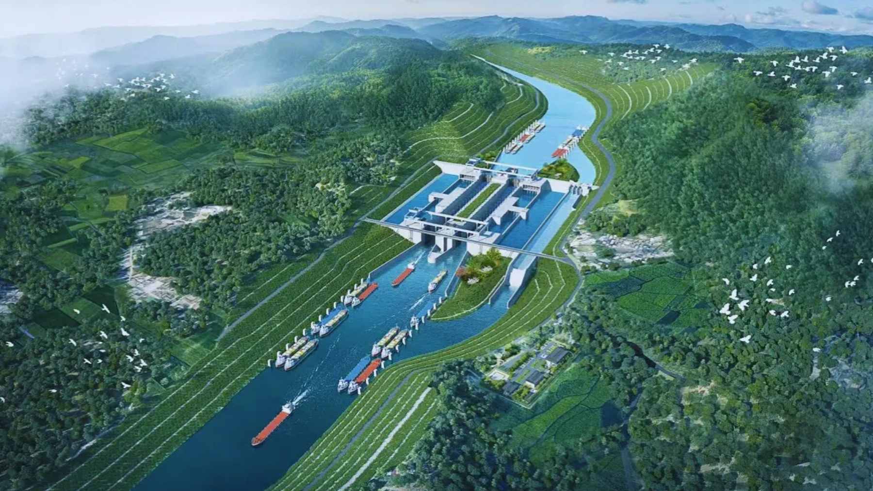
The engineering challenge
A canal sounds simple, almost like digging a ditch and filling it with water, but Pinglu is not so straightforward.
People’s Daily has reported that the canal is expected to handle 5,000-ton ships, and that the project includes waterways, navigation hubs, cross-canal facilities, and support works. The route also has to manage elevation changes through lock systems, which work like water elevators for ships.
The economic math is why China is pushing so hard. Official reporting has said the canal could shorten freight routes to the Beibu Gulf by about 340 miles and save more than ¥5.2 billion a year in transportation costs for regions along the corridor.
Why Southeast Asia matters
The canal is arriving at a moment when China’s trade map is tilting south. Reuters, citing customs data, reported that Chinese exports to ASEAN rose 13.4% in 2025, while exports to the United States fell 20% in dollar terms.
That makes Guangxi more than a regional player. It becomes a hinge between inland factories and Southeast Asian markets, especially as companies rethink where warehouses, factories, and port links should sit. Nobody likes traffic jams, whether on a city road or at a crowded shipping gateway.
At the coast, the Beibu Gulf Port already has momentum. Xinhua reported that the port’s annual container throughput reached 10 million TEUs in 2025, a milestone that gives the canal a busier outlet once ships begin moving.

The green canal test
The environmental question is the one that cannot be answered by concrete alone. What happens when a 83-mile channel reshapes water flow, fish migration, wetlands, and estuary habitats?
Project builders are pointing to technology as part of the answer. In August 2025, Xinhua reported that a smart monitoring system at a key fishway along the canal had begun operating, using underwater attraction lights, AI recognition, and sonar imaging to track fish numbers, species, and movement in real time.
That sounds promising, but experts would likely say the hard part comes after the opening ceremony. A 2024 review in the journal Water found that ship canals can have long-term wetland impacts, including changes to hydrology, poorer water quality, damage to plant communities, disturbance to animals, and biodiversity loss.
Scientists see real risks
A separate 2025 study focused directly on the Pinglu Canal mapped 39 aquatic ecological risk pathways and identified increased habitat fragmentation as the most prominent response along the route. The same study prioritized two high-risk segments where several ecological responses overlapped.
That does not mean the canal is doomed to harm the environment. It means the monitoring systems, fish passages, and conservation zones cannot become decorations–they need to work when freight traffic grows, not just when drones are filming progress shots.
And there is a practical reason for readers far from Guangxi to care. When shipping routes change, factories, fuel use, delivery times, and local ecosystems often change with them. The canal is not just moving goods, it is moving pressure from one landscape to another.
What comes next
The biggest test will come once construction ends and vessels start using the locks. Will the projected savings show up in real freight prices, or will they be absorbed by new industrial growth along the banks?
For China, Pinglu is a strategic bet on southern trade routes and inland development. For environmental watchers, it is a live experiment in whether a mega-project can be managed with enough humility to keep a river system alive. That is the real deadline.
The official statement was published on Xinhua.