A satellite designed to watch crops, disasters, oceans, and infrastructure is now at the center of a much harder question. What happens when environmental technology becomes a military instrument?
Reuters reported on April 15, citing a Financial Times investigation and leaked Iranian military documents, that Iran secretly acquired the Chinese-built TEE-01B satellite in late 2024 and used it to monitor U.S. military sites across the Middle East during the conflict then underway.
Beijing denied the account, and Reuters said it could not independently verify the report, but the case shows how quickly commercial Earth observation can move from farming fields to target folders.
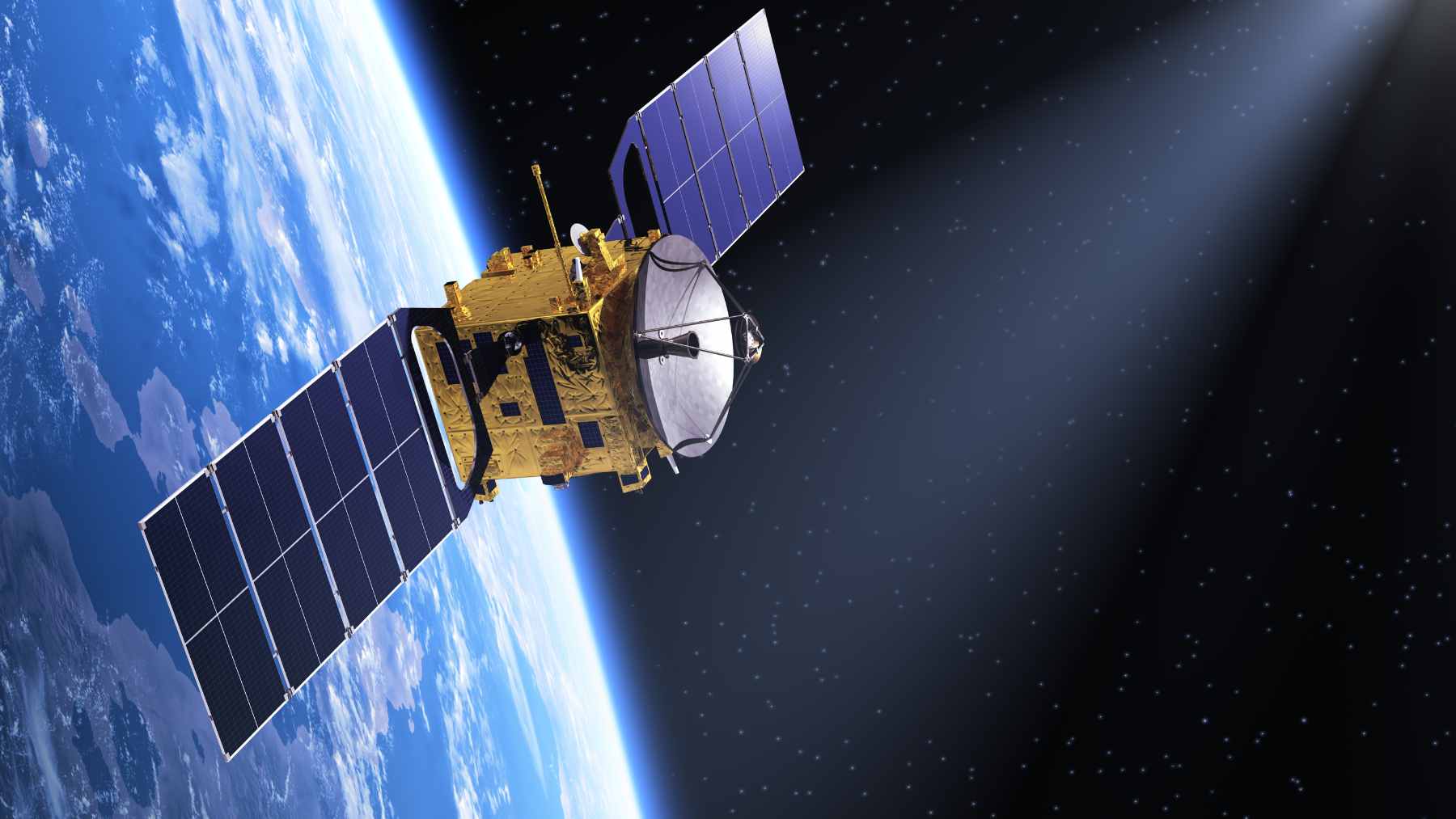
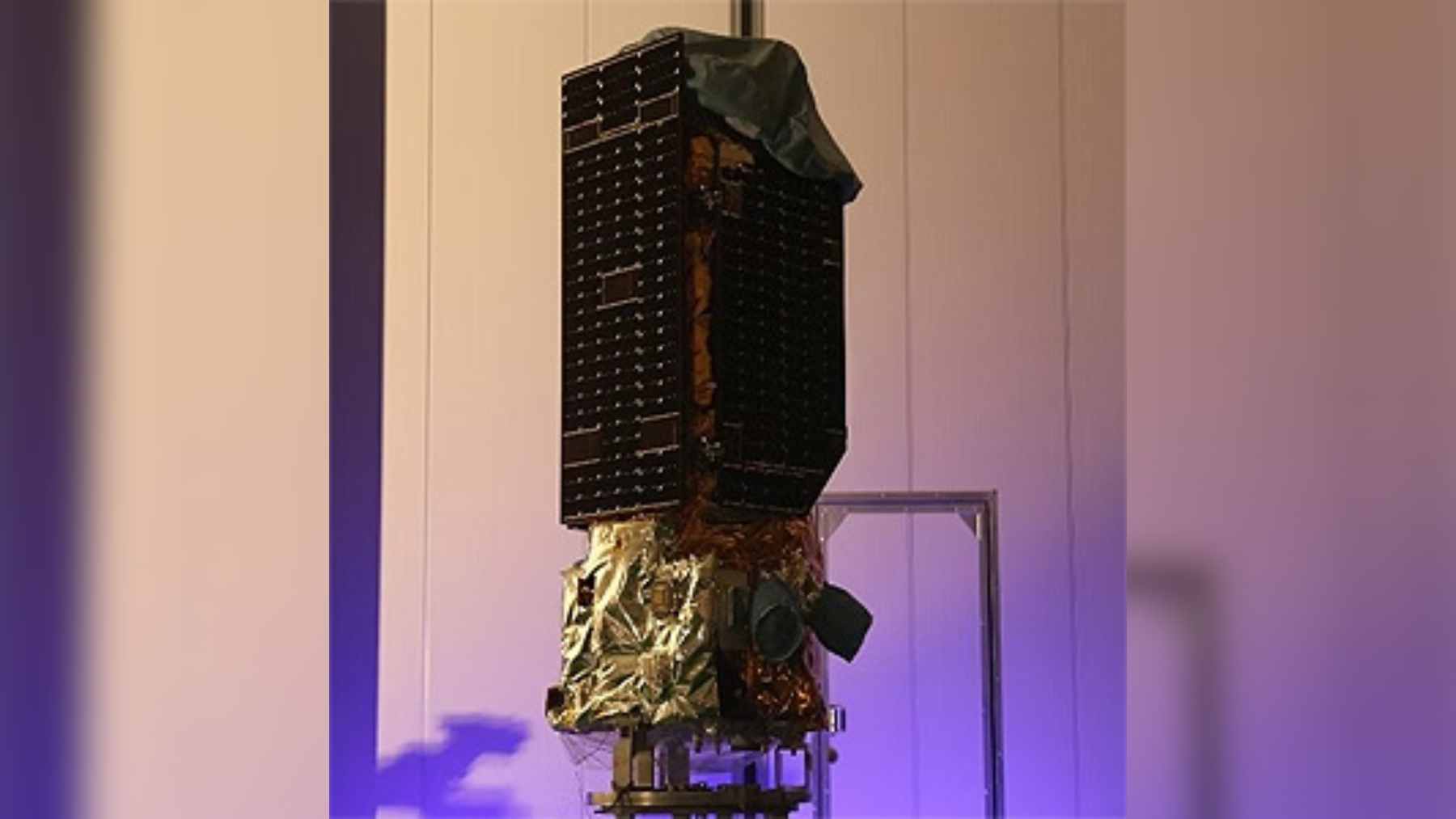
A satellite built to watch Earth
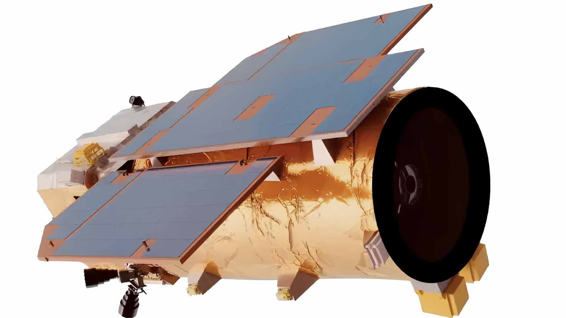
The company’s product page describes TEE-01B as the first satellite of its TEE constellation, launched on June 6, 2024, aboard a Ceres-1 Y13 rocket from the Jiuquan Satellite Launch Center. Its listed uses sound familiar and, at first glance, nonmilitary, such as crop census, island surveillance, early disaster detection, topographic mapping, and infrastructure inspection.
In practical terms, it is a sharp eye in low-Earth orbit. The published specs put the spacecraft around 330 to 340 miles above the planet, with about 1.7-foot panchromatic resolution and about 6.8 to 7-foot multispectral resolution. It can image in panchromatic, blue, green, red, and near-infrared bands over a strip roughly 9.2 miles wide.
For environmental agencies, those details matter. Satellites and aircraft give researchers a broad view of Earth systems, and NASA says those remote instruments help decision-makers understand the current and future state of the planet. For a farmer, a fire manager, or a city planner, that kind of picture can be genuinely useful.
Why defense planners care
The same spec sheet reads differently in a security office. A roughly 7-foot multispectral image will not show faces, but it can help analysts look for changes in runways, storage areas, roads, ports, and other infrastructure. That is where a civilian tool begins to look much more strategic.
Reuters said the Financial Times report cited time-stamped coordinate lists, satellite imagery, and orbital analysis showing that Iranian commanders tasked the satellite to monitor major U.S. sites. The report said the images were taken in March before and after drone and missile strikes, including imagery of Prince Sultan Air Base in Saudi Arabia on March 13, 14, and 15.
The report also said TEE-01B monitored Muwaffaq Salti Air Base in Jordan, locations near the U.S. Fifth Fleet base in Bahrain, and Erbil airport in Iraq. That is why this is not just a story about one camera in orbit. It is about who can point that camera, who receives the data, and what happens next.
Beijing denies the accusation
China pushed back quickly. The Chinese foreign ministry told Reuters, “Recently, some forces have been keen on fabricating rumors and maliciously associating them to China,” and said Beijing opposed what it called a practice driven by “ulterior motives.”
That denial matters because the report remains disputed. Reuters noted that it could not verify the Financial Times account, and that the White House, CIA, Pentagon, Earth Eye Co, and Emposat did not immediately respond to its requests for comment.
The safest reading is not that every allegation has been proven in public, but that the episode has exposed a real strategic weak spot.
The environmental technology dilemma
The hard part is that Earth observation is not a weapon by itself. It is one of the most important tools we have for tracking floods, wildfires, crops, water, coastlines, and land use. A satellite image may look cold and technical, but for people waiting on evacuation routes or crop estimates, it can be very practical.
But the same ability to notice environmental change can also be used to notice military movement. The OECD warned in February 2026 that one defining feature of Earth observation is its dual-use nature, since satellites that can track illegal fishing can often detect military troop movements too.
That is the dilemma sitting above this story. Better images can help protect forests, monitor damaged roads, or spot disaster risk early. They can also shrink the time between seeing a target and striking it.
Washington turns to sanctions
The U.S. response suggests Washington sees this as part of a wider procurement network, not just a one-time transfer. On May 8, 2026, the U.S. Treasury’s Office of Foreign Assets Control added The Earth Eye Co to its sanctions list under an Iran-related arms designation, listing aliases that include Beijing Mumei Starry Sky Technology Co and Beijing Mumei Xingkong Technology Co.
The Treasury also said OFAC targeted individuals and companies enabling Iran’s military procurement, while the State Department was designating four entities connected to Iran’s conventional arms activities. In plain English, the satellite story has moved from intelligence reporting into sanctions policy.
That matters for business as much as defense. Commercial satellite firms sell speed, coverage, and access. But when the customer list includes sanctioned forces or military buyers in active conflicts, “remote sensing” stops sounding like a neutral service and starts looking like a geopolitical risk.
Space is becoming a contested business
Commercial satellite imagery has changed how governments see conflict. The U.S. Government Accountability Office has said commercial satellite companies can provide imagery and data critical to national security, and noted that governments have used commercial satellites to track troop movement and the impact of attacks.
Now the question is who gets the clearest picture, and under what rules. Western countries have relied heavily on commercial imagery, but so have rivals and smaller powers trying to close an intelligence gap. When high-resolution cameras become easier to buy, space becomes less like a distant frontier and more like an open data market with military consequences.
This is the bigger lesson from TEE-01B. The same sensor that can detect a landslide or inspect a bridge can also change the timing and accuracy of a military operation. That dual-use reality will shape export controls, insurance, investment, and the next wave of Earth observation startups.
What to keep in mind
Iran’s reported acquisition of TEE-01B does not mean every environmental satellite is a spy platform. For the most part, Earth observation remains one of the most useful technologies we have for understanding a changing planet.
But this case is a warning. The orbit may be hundreds of miles above Earth, but the consequences land right here, in bases, boardrooms, sanctions lists, and in the rules that decide who can buy a view from space.
The official designation notice was published on the U.S. Treasury’s Office of Foreign Assets Control.