The reported purchase of the Chinese TEE-01B satellite by Iran is more than another space hardware story. It is a reminder that the same cameras used to watch crops, coastlines, and disasters can also become tools for military intelligence.
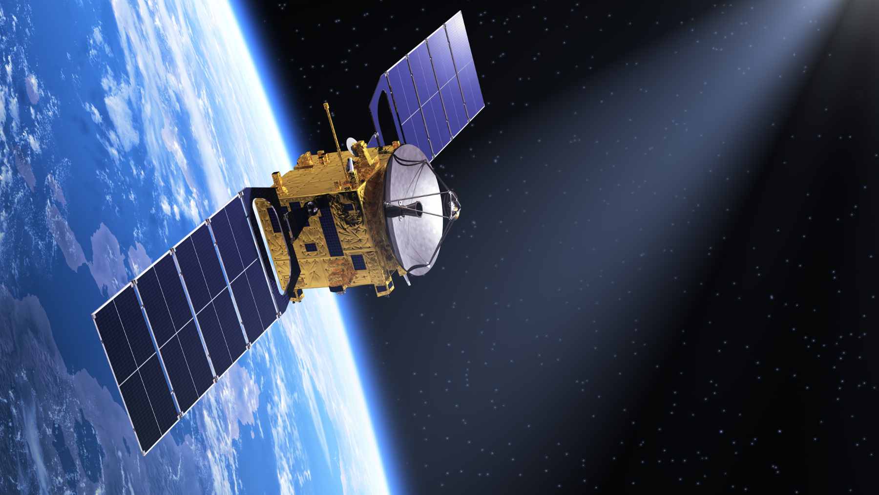
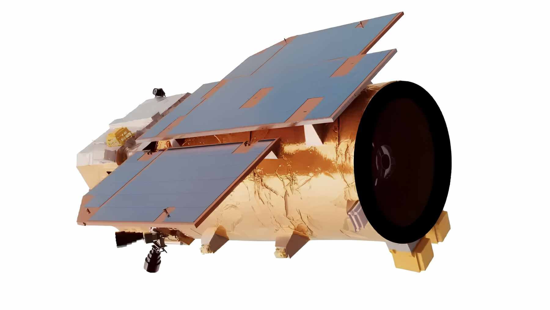
At the center is a small Earth observation satellite built by The Earth Eye Co. According to the company, TEE-01B was launched from China’s Jiuquan Satellite Launch Center on June 6, 2024, and can deliver 0.53-meter panchromatic and 2.12-meter multispectral images from an orbit altitude of about 335 miles.
A sharper view from low orbit
TEE-01B operates in low Earth orbit, close enough to collect detailed images while still covering wide areas. Earth Eye lists uses such as crop census, island surveillance, disaster detection, mapping, and infrastructure inspection.
Those sound like everyday uses. Farmers want better crop data, cities want smarter planning, and emergency teams want faster disaster alerts when floods, fires, or storms hit. But the same view that helps spot environmental damage can also help identify roads, hangars, ships, or changes around a military base.
That is where the story gets uncomfortable. In practical terms, a commercial Earth observation satellite can become a military asset without changing its camera. Only the tasking changes.
Iran’s reported satellite deal
Reuters reported, citing a Financial Times investigation based on leaked Iranian military documents, that Iran secretly acquired TEE-01B in late 2024 through the Islamic Revolutionary Guard Corps’ Aerospace Force. The report said Iranian commanders used the satellite to monitor major U.S. military sites across the Middle East before and after drone and missile strikes.
Beijing denied the allegation, and Reuters said it could not independently verify the Financial Times report–an important detail. In a story this sensitive, the difference between official confirmation and a reported intelligence leak is not a footnote.
Still, the reported locations show why the satellite raised alarms. Reuters said the sites included Prince Sultan Air Base in Saudi Arabia, Muwaffaq Salti Air Base in Jordan, areas near the U.S. Fifth Fleet in Bahrain, and Erbil airport in Iraq. No missile is needed to shift the balance at first. Better information can be enough.
Why multispectral imaging matters
A 2.12-meter multispectral image does not let someone read a license plate. But it can reveal patterns, surfaces, vegetation stress, disturbed soil, burn scars, and other changes that ordinary images may miss.
That is useful for land management, and it is also useful after a strike. Think of it like comparing a quick phone photo with a more detailed inspection. One tells you something happened, the other can help show what changed and where to look next.
For the most part, this is the heart of dual-use technology. The same instrument can help monitor ecological damage after a wildfire or support battle damage assessment after an attack. The moral question depends heavily on who is using the data and why.
China’s commercial space signal
Earth Eye describes itself as a company focused on exporting China’s commercial space industry and working with partners across the Belt and Road Initiative. It also says it has access to 18 commercial ground station partners worldwide, which can speed data transmission for clients.
That business model is not unusual in the modern space market. Many countries and companies sell remote sensing data. But in a tense region, access to imagery can feel less like a service and more like leverage.
The U.S. government has already moved against that concern. On May 8, 2026, OFAC listed The Earth Eye Co. under Iran-related conventional arms authorities, while a Treasury press release said the State Department was designating four entities connected to Iran’s conventional arms activities.
The message was clear enough: Washington now sees commercial satellite support as part of the battlefield.
Space is no longer quiet
For years, satellites were often described as scientific tools, weather watchers, or communications links. They still are, but now they also sit inside an invisible military infrastructure that includes navigation, secure messaging, surveillance, and targeting.
That shift affects more than soldiers and diplomats. When satellites built for agriculture, oceans, natural resources, and disaster response become part of wartime intelligence, the line between environmental tech and defense tech gets thinner.
The sky may look calm from the ground, but the traffic above us is becoming more strategic every year.
At the end of the day, TEE-01B is not just a Chinese satellite or an Iranian purchase report. It is a warning about the new space economy. The tools that help us understand Earth can also help armies prepare for the next move.
The official designation notice was published on Office of Foreign Assets Control.