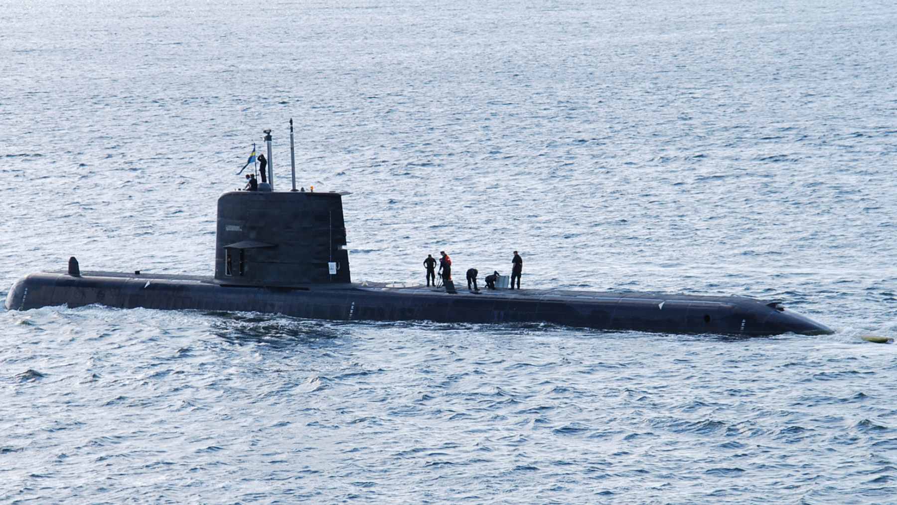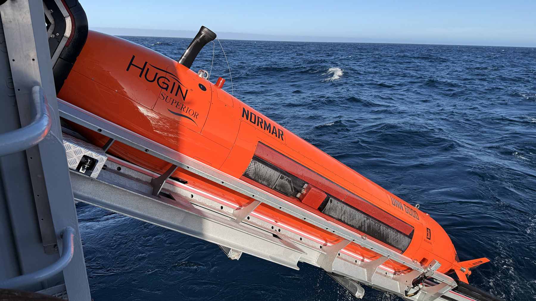
Norway has launched a newly christened autonomous underwater vehicle into the northern Norwegian Sea, and its first mission is simple to say but extremely hard to do. The HUGIN Superior is built to dive as deep as 19,685 feet and collect high-resolution data from areas of the seafloor that remain difficult to see in detail.
This is not a story about a lost city suddenly appearing under the Arctic. It is about something more practical, and probably more important. Norway now has its own advanced tool for mapping deep-sea terrain, tracking underwater structures, and gathering environmental data in a region where energy, science, ecology, and security increasingly overlap.
Norway’s new deep-sea scout
The HUGIN Superior is an autonomous underwater vehicle, or AUV, which means it can carry out missions without being steered like a traditional remotely-operated machine. The vehicle was procured through the Norwegian Offshore Directorate, funded by Norway’s Ministry of Energy, and will be operated by the Norwegian Marine Data Centre, known as NORMAR.
Its first expedition began in early June after a maiden voyage in Bergen. Representatives from the Norwegian Offshore Directorate, the Ministry of Energy, the Norwegian Institute of Marine Research, and Kongsberg Group attended before the vehicle headed north.
Why does that matter? Because the farther down you go, the harder it becomes to know what is really there. At nearly 3.7 miles below the surface, light is gone, pressure is crushing, and even routine measurements become a major technical challenge.
Mapping like a bat underwater
Most seabed mapping today relies on ship-based multibeam echo sounders, which send sound from the surface and build a picture of the bottom. That works, but it has limits. A vehicle that can move much closer to the seabed can gather sharper images and more detailed measurements.
The Norwegian Offshore Directorate compares the HUGIN Superior to a bat underwater. It emits sound waves, reads the returning echoes, and uses that information to orient itself and map structures or objects with high precision.
In practical terms, that means Norway can inspect the deep ocean in a more focused way. Think of it like switching from a satellite view of a neighborhood to walking down the street with a camera in your hand.

From weights to robotics
Deep-sea mapping in Norwegian waters is not new. The Norwegian Offshore Directorate notes that these areas have been studied since the 1800s, when crews used simple weights lowered from ships to estimate water depth and identify early hints of seabed shape.
That sounds rather rudimentary today, but it was the starting point. Over time, better sonar, better vessels, and now autonomous systems have turned those rough measurements into detailed models of the ocean floor.
Hilde Braut, assistant director for new industries at the Norwegian Offshore Directorate, said Norway’s access to “advanced mapping resources” strengthens both its knowledge base and its ability to manage deep-sea areas responsibly. That word matters. Responsible management starts with knowing what is actually there.
Sensors that see more than shapes
The HUGIN Superior is not just taking pictures. Kongsberg says the vehicle carries a fixed sensor suite that includes HISAS 1032 dual receiver sonar, EM2040 Mk2 multibeam technology, a camera, a laser profiler, a sub-bottom profiler, a magnetometer, and sensors for methane, carbon dioxide, oxygen, and more.
That mix gives the mission an environmental edge. Methane detection, oxygen readings, and seabed imaging can help scientists and authorities identify natural seepage, possible leak points, or sensitive areas that need more careful attention.
It can also cover about 1.7 square miles per hour for seabed imagery and bathymetry, according to Kongsberg’s published specifications. Its MicroNavigation system is designed to improve real-time accuracy to better than 0.04 percent of the distance traveled.
Energy, ecology, and security
The mission sits at the crossroads of several priorities. Norway is an energy nation, but it is also trying to improve its knowledge of deep-sea environments before decisions are made about how those areas should be used.
Better maps can support environmental monitoring, offshore planning, and the management of marine resources. They can also reduce uncertainty when governments and companies consider where to place infrastructure or where to avoid disturbing fragile seabed features.
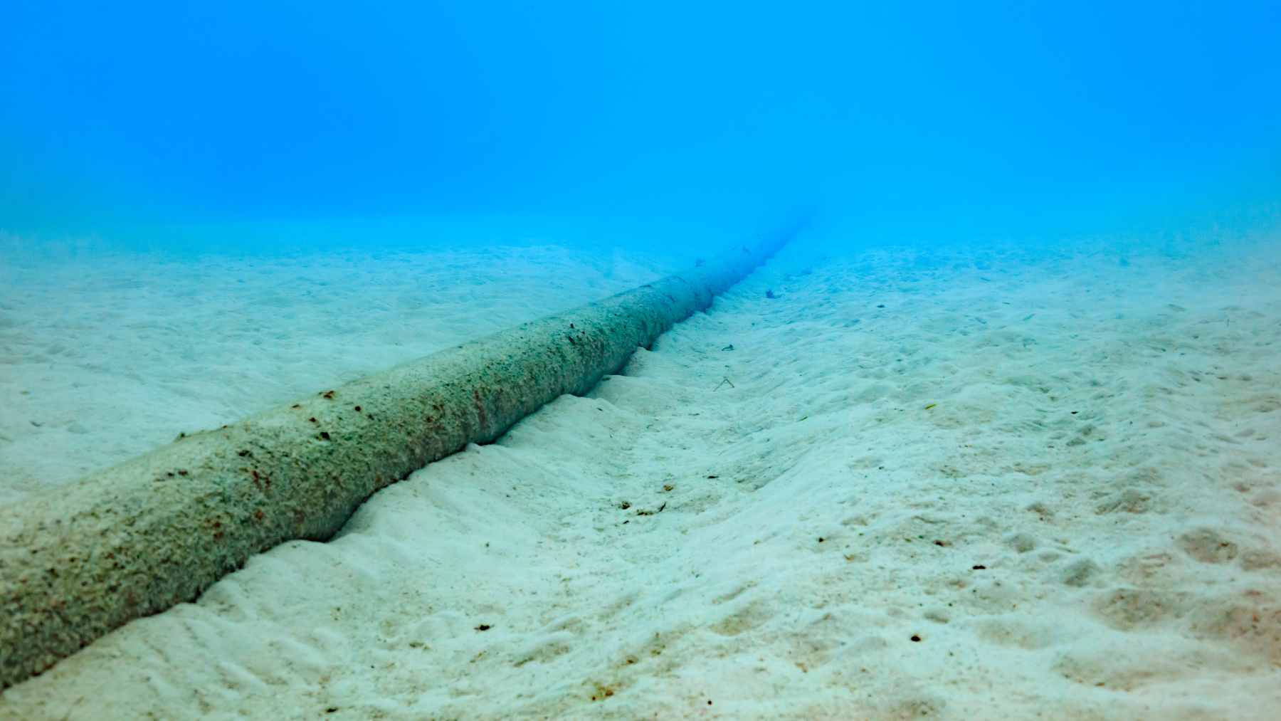
There is also a defense angle, though it should not be overstated. Kongsberg describes the HUGIN family as useful for commercial, scientific, and defense applications, including geophysical surveys, hydrography, marine archaeology, environmental monitoring, pipeline tracking, and mine countermeasure work.
Why the Arctic matters
The Arctic and northern seas are changing fast, to a large extent because of climate pressure, shipping interest, and the growing strategic value of underwater infrastructure. Cables, pipelines, energy sites, and research zones all depend on one basic thing: you need to know what the seabed looks like.
That is where vehicles like HUGIN Superior come in. They do not solve the political or environmental debates by themselves, but they give decision-makers better evidence to work with.
For everyday readers, the deep ocean can feel distant, almost abstract. But the maps produced there can shape energy planning, environmental rules, defense readiness, and even the way countries protect the hidden systems that keep modern life connected.

What happens next
For now, Norway’s new underwater scout is expected to deliver very high-quality data from deep areas of the northern Norwegian Sea. The official announcement does not claim a dramatic discovery, and that is important. The story is the tool, the data, and what they may help reveal over time.
Could the vehicle find unusual geological structures or objects that have sat unseen for thousands of years? Possibly, but the responsible answer is that the mission is designed to map, measure, and document before anyone jumps to conclusions.
At the end of the day, the HUGIN Superior is a reminder that the ocean floor is not empty space. It is a landscape, an ecosystem, a resource area, and in some places, a security frontier.
The official statement was published on Norwegian Offshore Directorate.