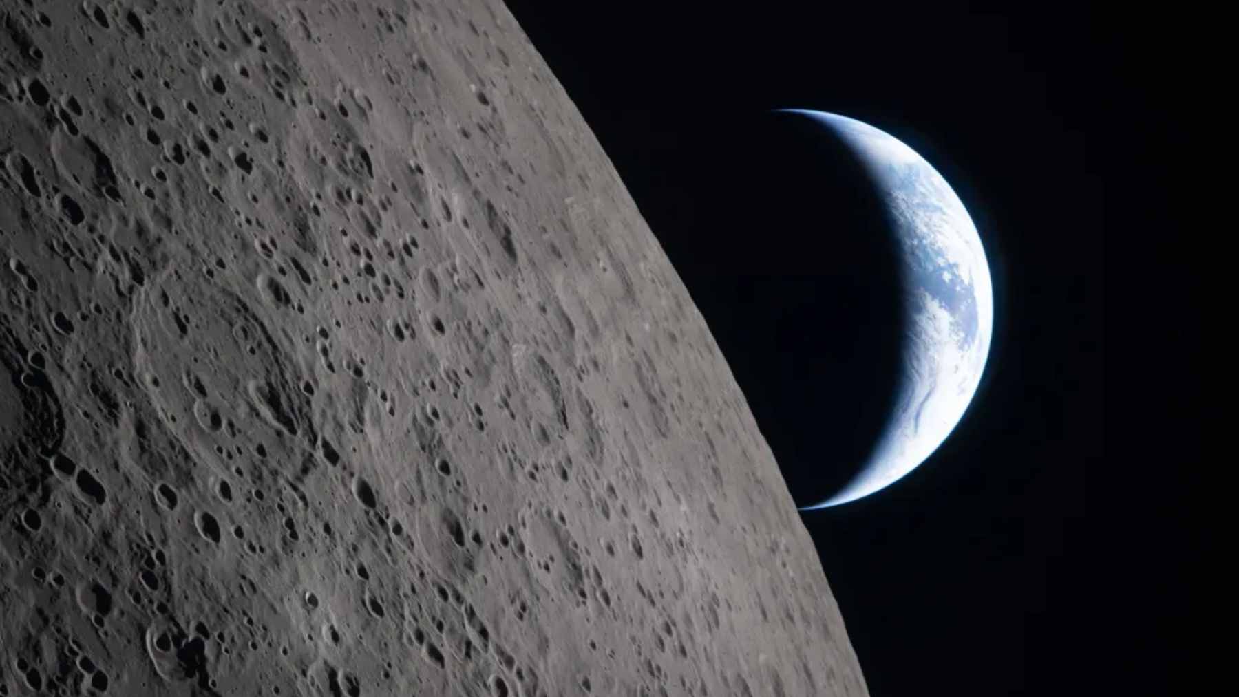
The KH-11 KENNEN is one of those machines that feels half science fiction and half Cold War history. Launched by the National Reconnaissance Office in 1976, it helped move U.S. reconnaissance away from film capsules that had to fall back to Earth and toward digital images sent through space.
That shift still shapes how governments, companies, and even disaster teams think about watching the planet from orbit.
The most interesting part may be what remains unknown. Public references often point to very low orbital passes and centimeter-class image estimates, yet the NRO does not publish the satellite’s exact resolution, mirror size, mass, or operating orbit.
In practical terms, the KH-11 story is not just about a powerful camera. It is about the uneasy line between Earth observation as a public tool and Earth observation as a classified instrument of national security.
The eye that went digital
Before KENNEN, U.S. reconnaissance satellites relied heavily on film-return systems. The images had to be captured on photographic film, sent back in capsules, and recovered on Earth before analysts could use them.
KENNEN changed that workflow. According to the NRO, the KH-11 was a “near real-time electro-optical satellite” that transmitted images to Earth through a relay satellite after its Dec. 19, 1976 launch. That was a big jump from waiting for film, especially when leaders needed faster information during a crisis.
This is the quiet part of the story that matters most–a sharper picture helps, but a picture that arrives quickly can change how decisions are made.
Low orbit comes at a cost
How close is close? Some public estimates describe KH-11-type satellites making passes only a few hundred kilometers above Earth, with 250 km (155 miles) often cited as a possible low point. That figure should be treated as an estimate, not as an official fixed altitude.
Flying low makes sense for imaging because the target is closer, but it also means the spacecraft is still moving through traces of the upper atmosphere, where drag slowly pulls objects downward.
NOAA says atmospheric drag is the largest uncertainty in determining orbits for satellites in low Earth orbit, partly because the upper atmosphere changes with solar and geomagnetic activity.
That is where space weather enters the picture. NASA notes that increased atmospheric drag from a coronal mass ejection can lower a satellite’s orbit, forcing teams to adjust timing files for ground stations or burn fuel to boost the spacecraft back up. Even spy satellites have to obey the weather above the weather.
The Hubble comparison
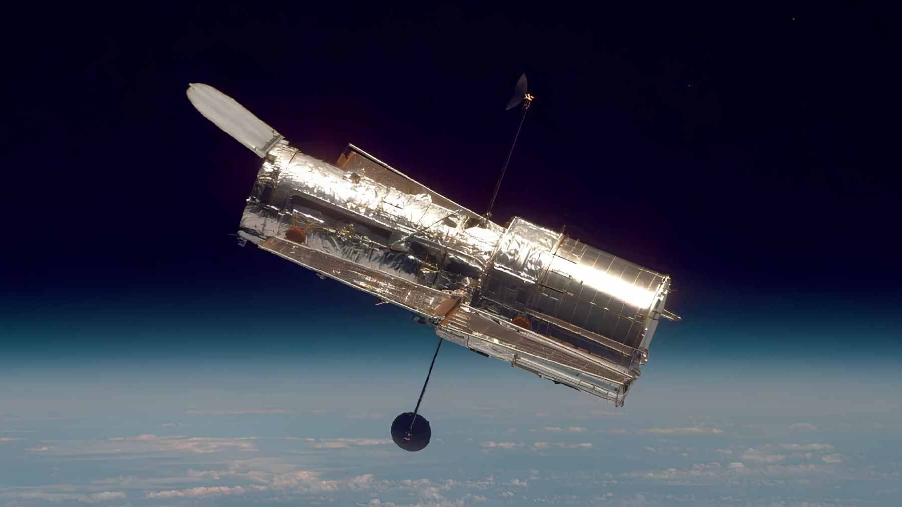
The KH-11 is often compared with the Hubble Space Telescope because both discussions involve large space optics. NASA says Hubble’s primary mirror is 94.5 inches, or 2.4 meters, across. That number helps explain why big mirrors matter, since they collect more light and can support finer detail.
Still, the comparison needs caution. Hubble looks outward at the universe, while reconnaissance satellites look down at Earth. Similar engineering problems do not mean identical missions.
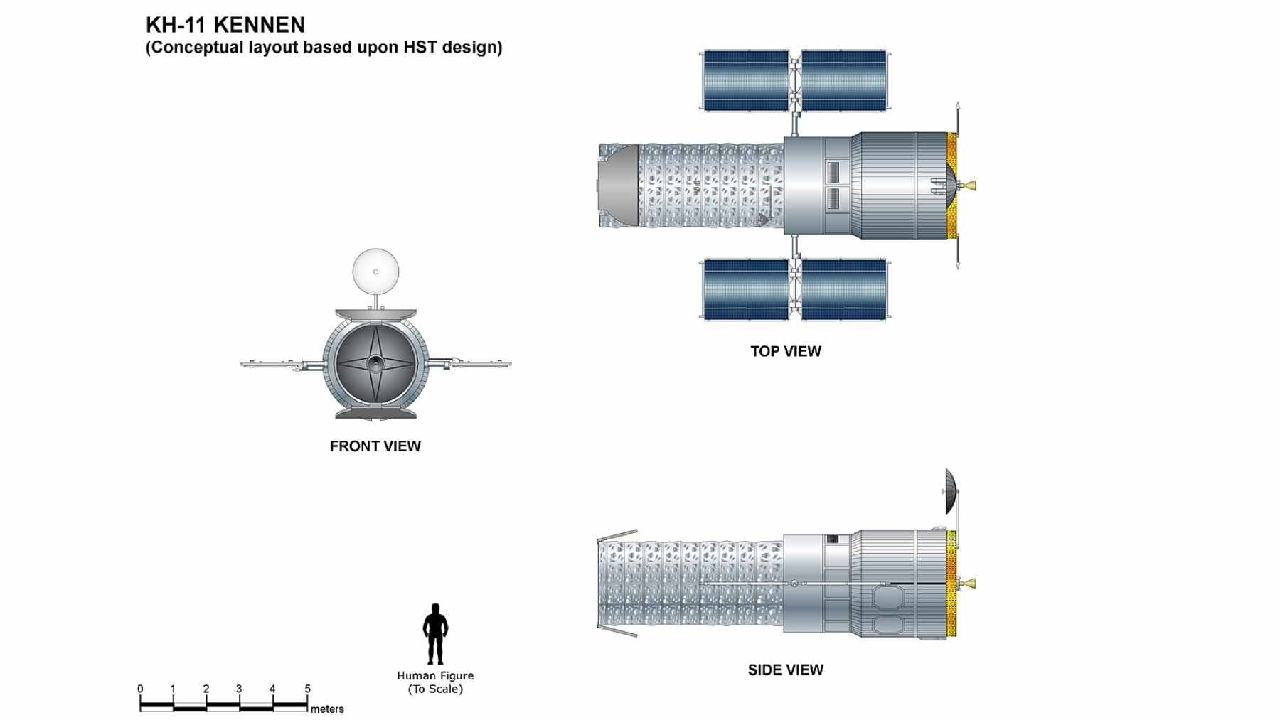
Think of it like two high-end cameras with different jobs. One photographs deep space, the other, in classified form, helps governments understand what is happening on the ground.
Earth observation went mainstream
Today, near-real-time satellite imagery is not only a military matter. NASA’s LANCE program supports monitoring of natural and human-created events, with many data products available within three hours of satellite observation. Its tools can help track wildfires, floods, agriculture, air quality, and disaster response.
That everyday side is easy to forget. When wildfire smoke turns the sky orange or a flood warning pops up on a phone, satellite data may be somewhere in the chain of information.
The difference is access. Civil systems publish data for researchers, agencies, and the public, while reconnaissance programs protect their best capabilities behind classification. Same planet, very different rules.
Why the secrets still matter
The KH-11 remains fascinating because it sits right at that boundary. The physics are understandable, but the operational limits are not public. Claims about reading tiny markings on vehicles or identifying individual weapons from orbit may be technically discussed by analysts, but without official documentation they should not be treated as confirmed fact.
That caution is important now that satellite imagery is everywhere. Maps, weather apps, wildfire dashboards, and commercial monitoring have made orbit feel ordinary. But the most advanced military systems still operate in a world where silence is part of the design.
So the real lesson of KH-11 is not just that the U.S. built a powerful eye in space. It is that Earth observation became faster, more digital, and more central to both security and daily life.
The official statement was published on the National Reconnaissance Office.