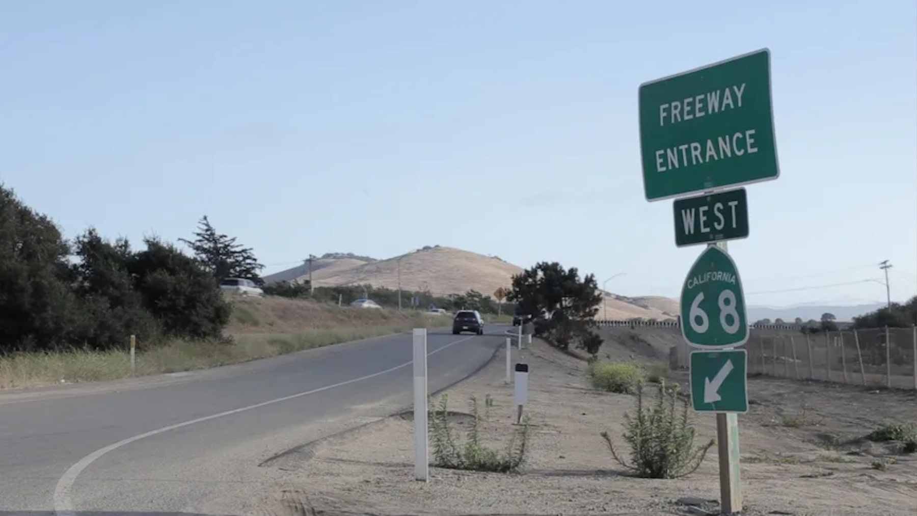
Nine traffic signals on Highway 68 in Monterey County switched to Adaptive Traffic Signal Control (ATSC) on May 4 as part of a Caltrans District 5 pilot with the Transportation Agency for Monterey County.
The system uses real-time traffic data to adjust light timing automatically, and the five-year test is meant to show whether “smarter” signals can meaningfully ease one of the region’s most frustrating choke points.
Because transportation is the largest source of direct greenhouse gas emissions in the United States, fewer wasted minutes in traffic can also mean less wasted fuel. The environmental promise is real, but it only counts if the pilot delivers measurable, repeatable improvements and stays reliable when traffic spikes.
What changed on Highway 68
The initial rollout covers nine signals across about 9 miles between San Benancio Road and Josselyn Canyon Road. Briefing materials describe the corridor as a key connector between the Salinas area and the Monterey Peninsula, with added pressure from diverted traffic off Highway 101.
Congestion is not constant, which is exactly why Caltrans and TAMC are testing an adaptive approach. Tourism season and major events, including races at WeatherTech Raceway Laguna Seca, are often cited as the moments when fixed signal schedules break down.
How adaptive timing works
Federal Highway Administration guidance describes adaptive signal control as a loop, sensors collect traffic data, software evaluates it, then timing updates roll out and repeat every few minutes. On Highway 68, the same idea is paired with a network of cameras and sensors so green phases can extend or shorten based on demand.
FHWA also notes the technology captures performance data that signal operators can use to monitor results over time.
Traditional signals often rely on pre-programmed schedules, which can miss sudden changes in volume. FHWA notes these systems are best suited for corridors with variable and unpredictable traffic, including disruptions from crashes or special events.
It also points out that adaptive systems are used on less than 1% of U.S. signalized intersections, which is why pilots like this get so much attention.
Why agencies like the price tag
TAMC’s board authorized up to $1.2 million to purchase and install adaptive signal equipment at nine intersections on State Route 68 over the five-year life cycle of the project. By contrast, local reporting has put major intersection rebuild options, like adding turn lanes or swapping signals for roundabouts, in the “upward of $200 million” range.
The bet is that better timing can unlock savings without widening the road. In USDOT’s ITS benefits database, adaptive signal control case studies reported annual user benefits ranging from $88,000 to $757,000, alongside travel time and delay changes that vary by corridor and system.
The emissions logic behind smoother flow
The EPA says most transportation emissions come from burning petroleum-based fuels, and the sector is the largest source of direct greenhouse gas emissions. The Alternative Fuels Data Center adds that cutting idling saves fuel and money and reduces pollution, which is the basic environmental math behind traffic signal upgrades.
FHWA’s brochure says many studies have found adaptive systems improve average performance metrics, including emissions and fuel consumption, by 10% or more. If you have ever sat through two red lights in a row watching the gas gauge creep down, that 10% is what “less time wasted” looks like in real life.
Critical infrastructure means new risks
Traffic operations sit inside a bigger national security frame than most drivers realize. A CISA primer on Presidential Policy Directive 21 lists 16 critical infrastructure sectors, including the Transportation Systems Sector. That framing matters during evacuations, disaster response, and other high-stress moments when roads need to keep moving.
As signals become more connected, they also become more dependent on cyber and communications systems.
A Texas A&M Transportation Institute white paper warns that compromised transportation technology can create consequences ranging from operational disruption to safety impacts and effects on national security.
What to watch in the five-year pilot
Caltrans says the Highway 68 system moved into operation after months of field testing and calibration, and that the team will share analysis and updates with the TAMC board throughout the pilot.
That puts pressure on the project to report clear before-and-after results across seasons, including the busy summer travel period.
The most convincing scorecard will track travel time, delay, stops, reliability, and fuel and emissions impacts under comparable traffic conditions.
The official statement was published on Caltrans.